Generated by My Tracks app for android: https://maps.google.com/maps/ms?msa=0&msid=217262733884307224050.0004d67c53af055ad068e
Created by Google My Tracks on Android. Name: 24/02/2013 09:45 Whatstandwell to High Peak Junction
Activity type: - Walking: - Total distance: 4.62 km (2.9 mi) (halfway only)
Total time: 1:12:54
Moving time: 1:04:19 (stopped for coffee)
Average speed: 3.80 km/h (2.4 mi/h)
Average moving speed: 4.31 km/h (2.7 mi/h) (Would have been much quicker if Sue had been with us)
Max speed: 9.91 km/h (6.2 mi/h)
Average pace: 15.79 min/km (25.4 min/mi)
Average moving pace: 13.93 min/km (22.4 min/mi)
Fastest pace: 6.06 min/km (9.7 min/mile) Max elevation: 225 m (738 ft) (Home)
Min elevation: 128 m (421 ft)
Elevation gain: 84 m (276 ft)
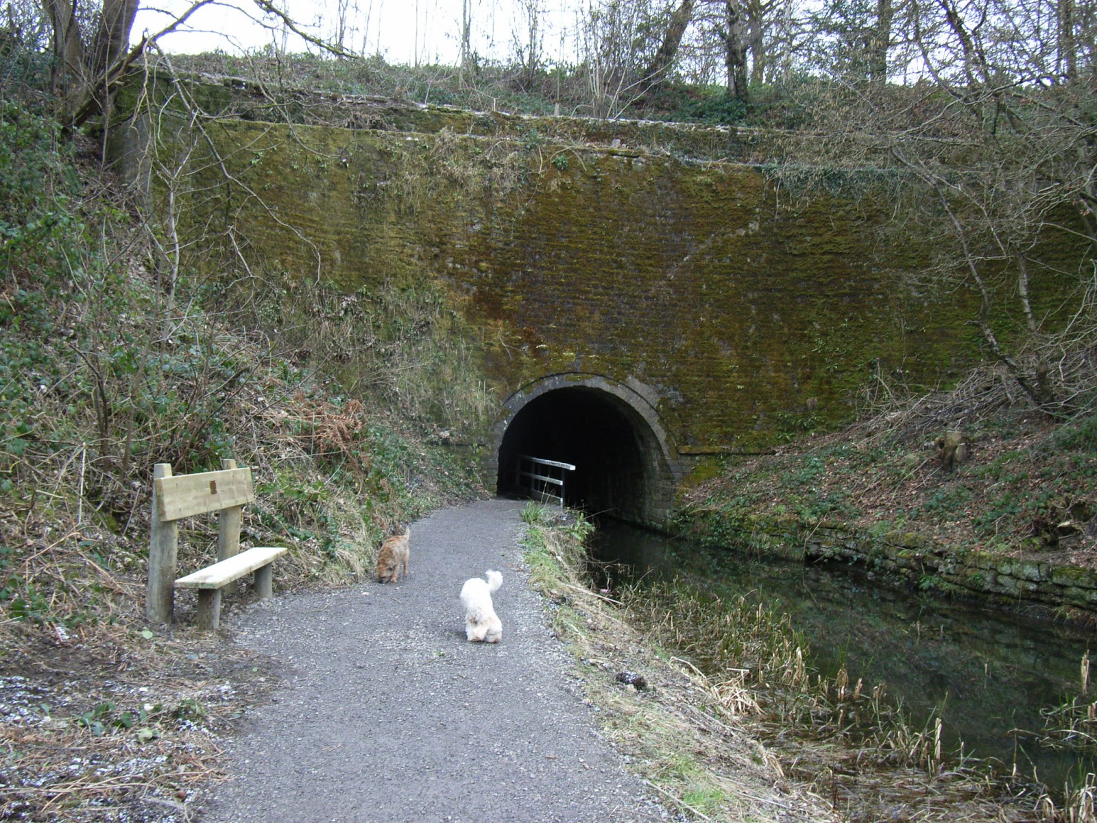
(Basically we walked there, had a coffee at High Peak Junction, and walked back)


Created by Google My Tracks on Android. Name: 24/02/2013 09:45 Whatstandwell to High Peak Junction
Activity type: - Walking: - Total distance: 4.62 km (2.9 mi) (halfway only)
Total time: 1:12:54
Moving time: 1:04:19 (stopped for coffee)
Average speed: 3.80 km/h (2.4 mi/h)
Average moving speed: 4.31 km/h (2.7 mi/h) (Would have been much quicker if Sue had been with us)
Max speed: 9.91 km/h (6.2 mi/h)
Average pace: 15.79 min/km (25.4 min/mi)
Average moving pace: 13.93 min/km (22.4 min/mi)
Fastest pace: 6.06 min/km (9.7 min/mile) Max elevation: 225 m (738 ft) (Home)
Min elevation: 128 m (421 ft)
Elevation gain: 84 m (276 ft)
(Basically we walked there, had a coffee at High Peak Junction, and walked back)
 |
| This delightful (if a bit public) residence is currently for sale |


I think that's the pumping station that has been restored?
ReplyDeleteOne Sunday every month it's open to visitors, I think. 4 tons (imperial measurement)of water lifted from the Derwent to the canal every fifteen seconds - something like that anyway.
Delete